From site evaluation to wetland permitting, we deliver precise ecological assessments that help landowners, developers, municipalities, and development teams make informed, responsible decisions about Maine's natural resources.
Comprehensive soil health assessments including nutrient profiling, pH, contaminant screening, and percolation tests for septic siting and agricultural use.
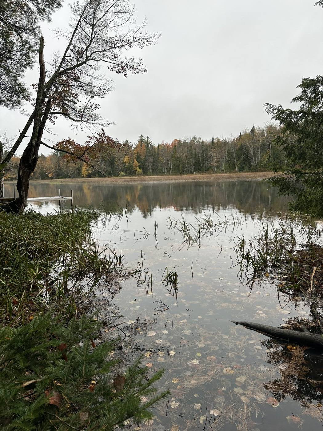
Certified identification and mapping of Maine vernal pools under DEP guidelines. Amphibian and invertebrate surveys, buffer delineation, and permit support.
Guidance and documentation for Maine's key environmental regulations — including Site Law, Shoreland Zoning, the Natural Resources Protection Act, and stormwater permitting. We handle agency coordination across Maine DEP, local boards, and federal bodies.
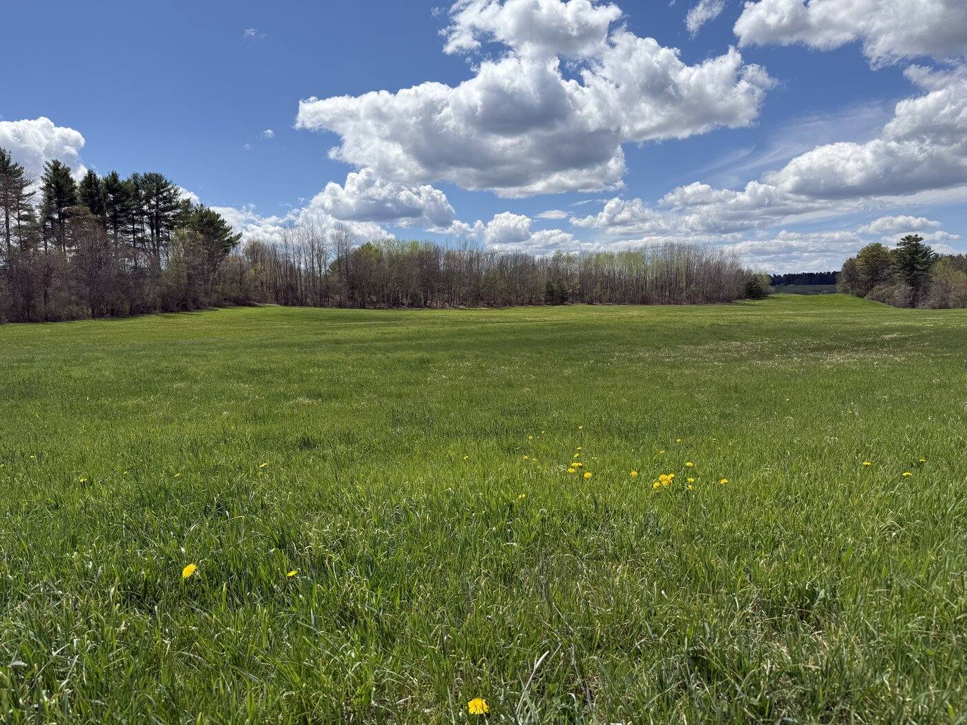
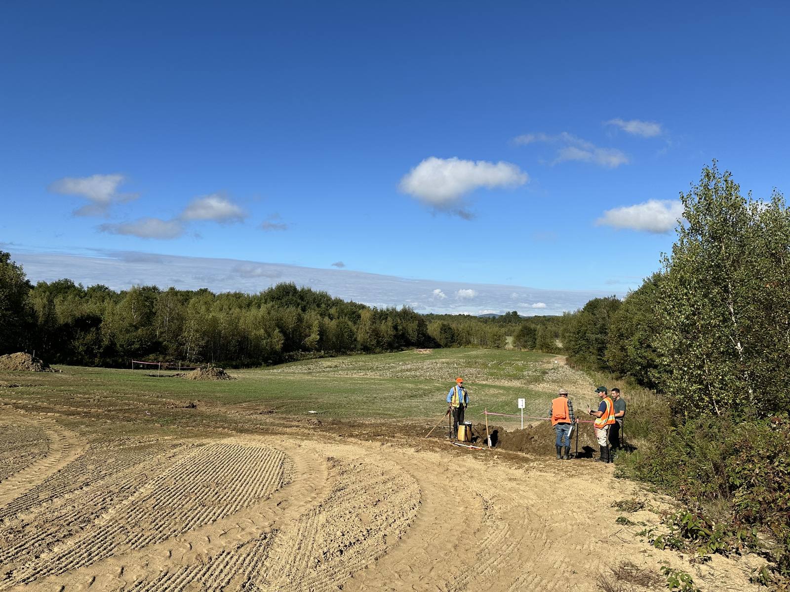
High Value Agricultural Land (HVAL) evaluation assesses parcels for soil productivity, farmland classification, and agricultural potential — helping landowners, planners, and developers understand the farming value of a site before making land-use decisions.
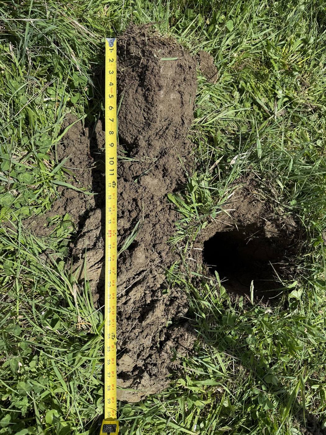
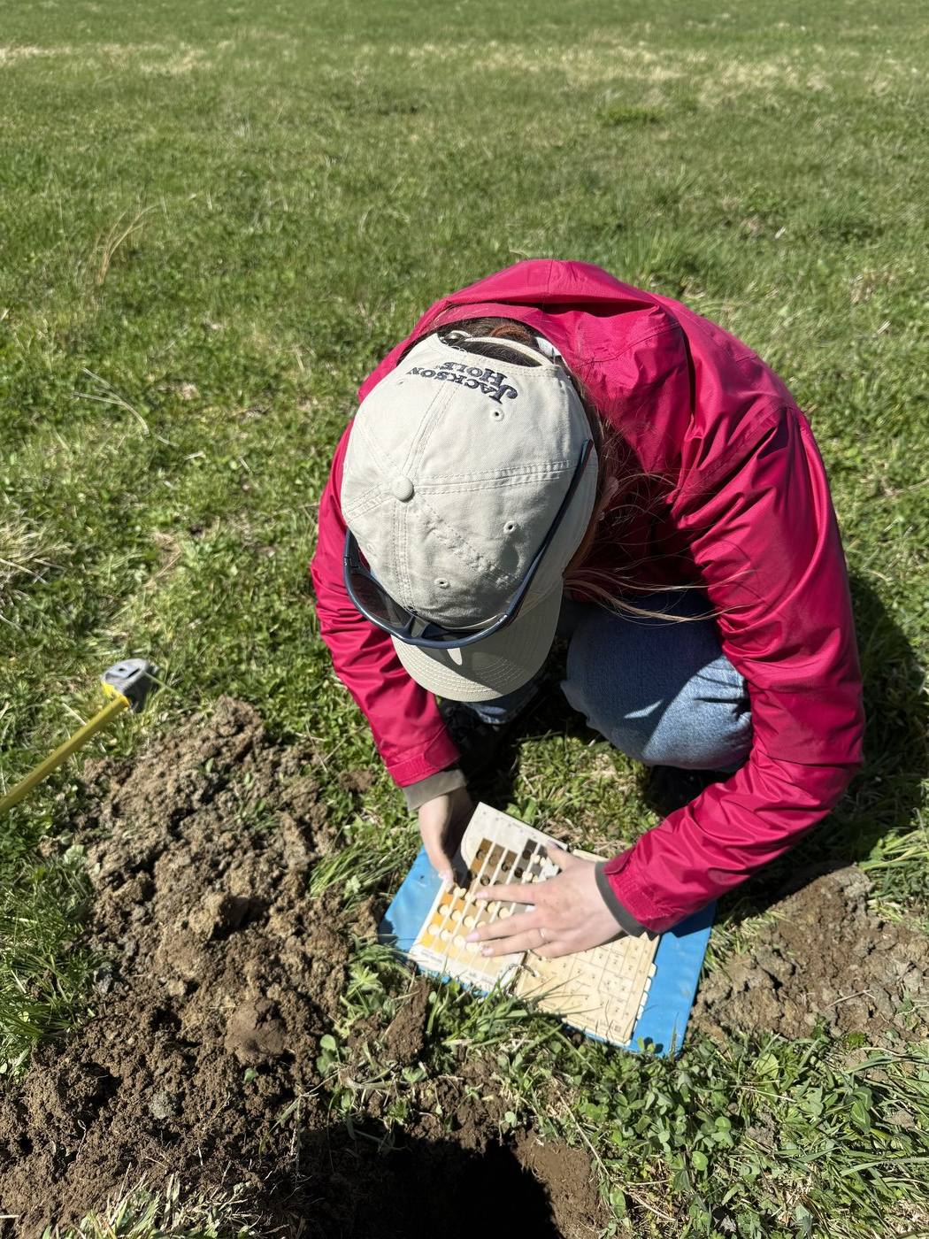
Detailed field-based soil surveys mapping soil series, horizons, and properties across a parcel. Used for site planning, agricultural assessments, septic design, and regulatory compliance — with full Munsell color analysis and lab coordination as needed.
Independent on-site inspections to verify compliance with permit conditions, erosion and sedimentation controls, wetland buffer limits, and construction specifications. Provides unbiased documentation for regulators, developers, and project owners.
Comprehensive evaluation of a parcel's development potential and restrictions — including wetlands, soils, setbacks, flood zones, and resource protections. Identifies opportunities and limitations early, so projects move forward with confidence and fewer regulatory surprises.
Full-service permitting support across all levels of government — from municipal planning boards and shoreland zoning to Maine DEP Site Law, Army Corps of Engineers Section 404, and FEMA floodplain compliance. We guide your project through the process from application to approval.
"Built on a shared love of the land — and a belief that good science should be accessible to everyone."
EcoLink Maine was founded by Dr. Dale F. Knapp and his daughter Sophia L. Knapp, who share an unshakeable passion for environmental science and a commitment to serving their community. What started as weekend field walks and conversations about soil horizons became a business rooted in the same values: curiosity, integrity, and genuine care for the people and landscapes of Maine. Together, Dale and Sophia bring decades of combined experience and a family-first approach to every client relationship — because for them, this work has never just been a job. It's a calling.
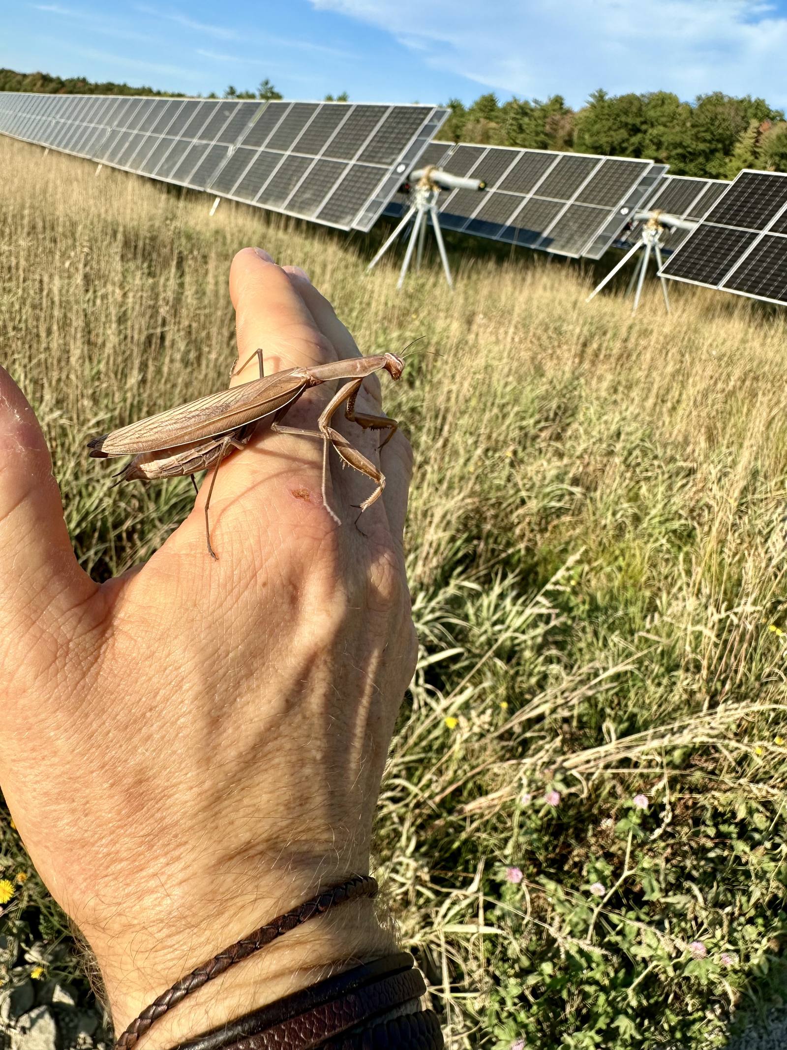
Sophia matching soil color in the field — reading horizons by hand.A native mantis at a solar HVAL site — healthy ground supports healthy habitat.
We know Maine's terrain, regulations, and seasonal conditions. From Aroostook's potato country to the York County coast — no two sites are alike, and we've worked them all.
02
Regulatory Expertise
Fluent in Maine DEP, MDIFW, and local ordinance requirements so your project moves through the permitting process efficiently.
03
Transparent Communication
Plain-language reports, responsive communication, and no surprise invoices. You'll understand your site and your options at every step.
04
Certified Professionals
Our team holds active certifications aligned with current state and federal standards for wetland science, soil science, and environmental assessment.
Team Credentials
Licenses & Certifications
Licensed Site Evaluator (LSE)State of Maine
Certified Soil Scientist (CSS)State of Maine
Professional Wetland Scientist (PWS)Society of Wetland Scientists
Certified Environmental Professional (CEP)ECO Canada
Erosion & Sedimentation Control (CPESC)EnviroCert International
Notary PublicState of Maine
Diversity Leadership CertificateUniversity of New England
Certified Wilderness First ResponderASOLO
Professional Associations
Association of State Wetland ManagersMember
Engineers Without Borders, UMaine ChapterMember
Maine Association of Professional Soil ScientistsMember
Maine Association of Site EvaluatorsExecutive Director
Maine Association of Wetland ScientistsPast President
New Brunswick Environment Industry AssociationMember
Society of Soil Scientists of Southern New EnglandProfessional Member
Society of Wetland Scientists, New England ChapterChair
The Wildlife SocietyMember
Recent Work
Project Highlights
A snapshot of recent field work across Maine — every project is different, and we bring the same rigorous approach to each one.
Wetland Delineation · Buffer Mapping
Sanford Solar Project
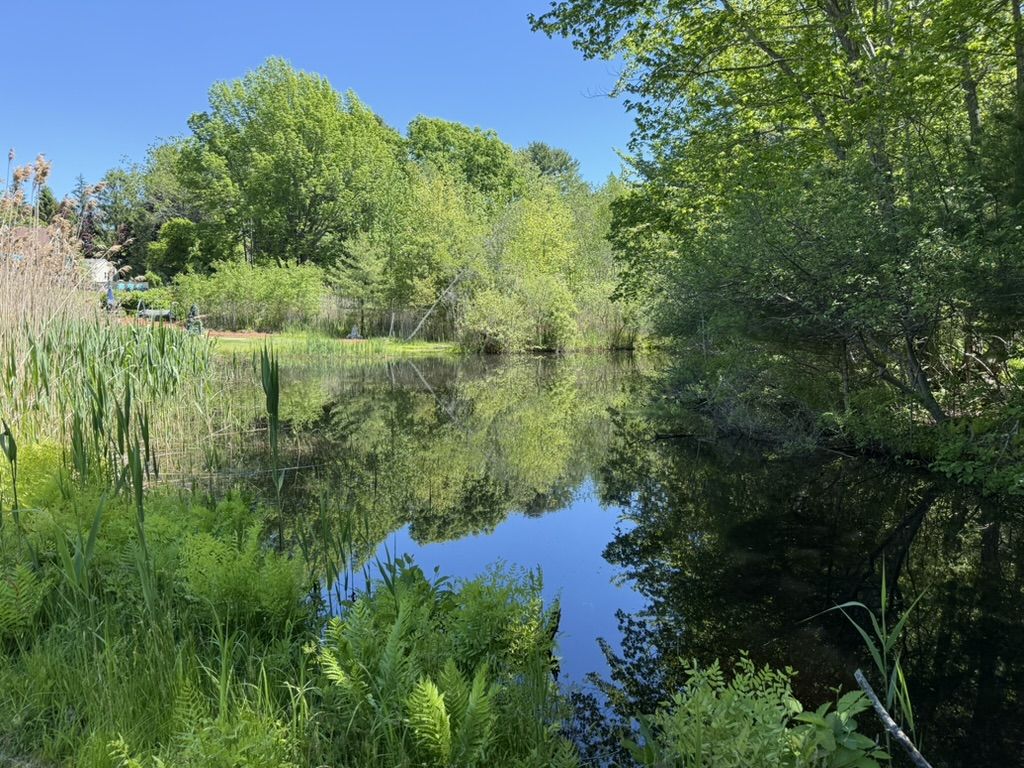
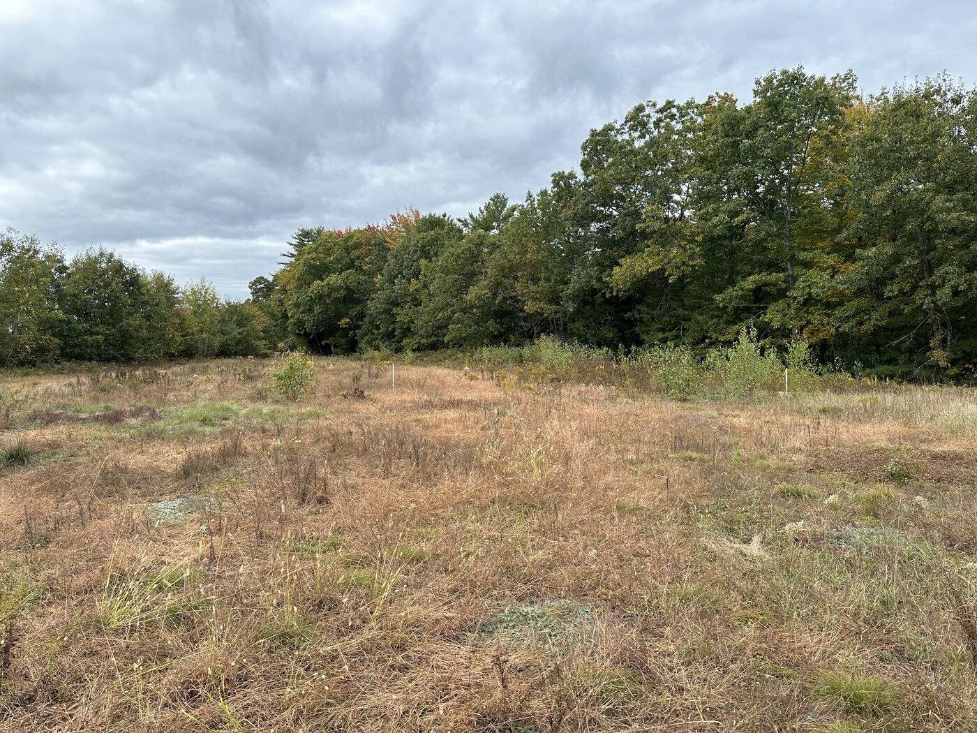
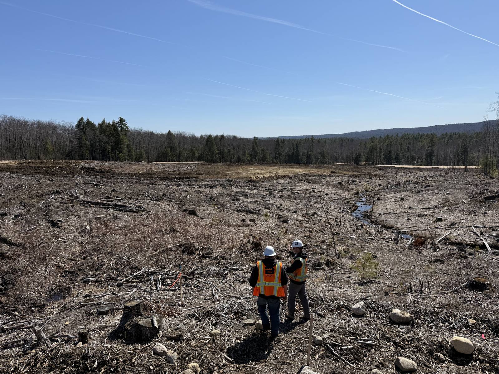
A utility-scale solar development in York County required wetland delineation and buffer mapping across the proposed array footprint. EcoLink mapped jurisdictional wetland boundaries and buffer zones to support Maine DEP permitting and minimize impact to jurisdictional resources on site.
Sanford, MEWetland DelineationBuffer Mapping
Wetland Delineation · Vernal Pool Assessment
Farmington Solar Project
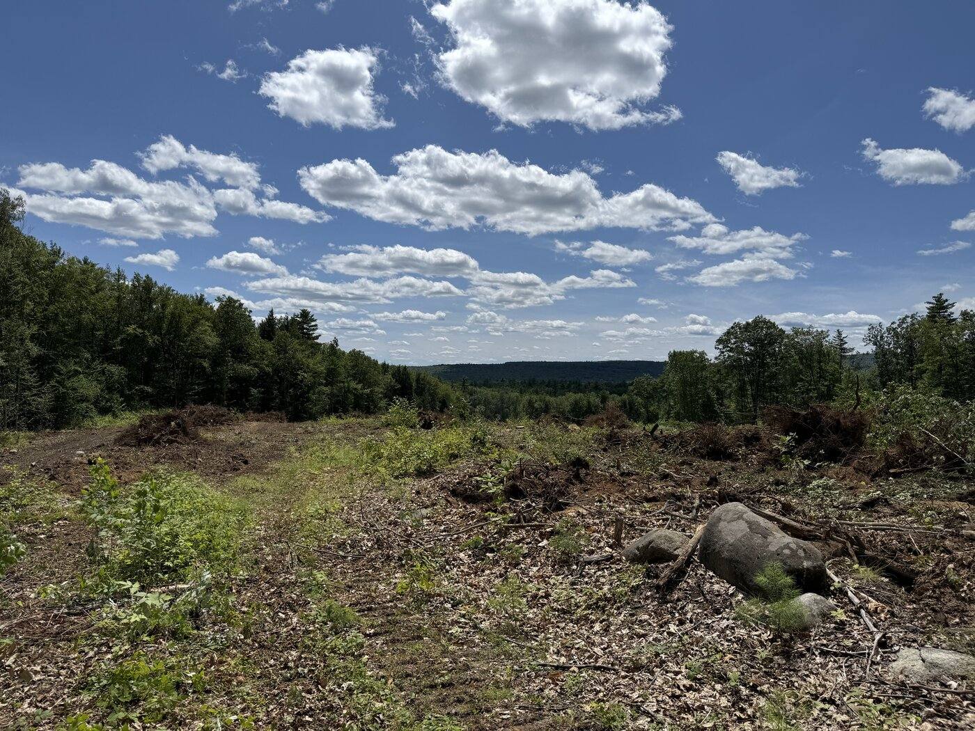
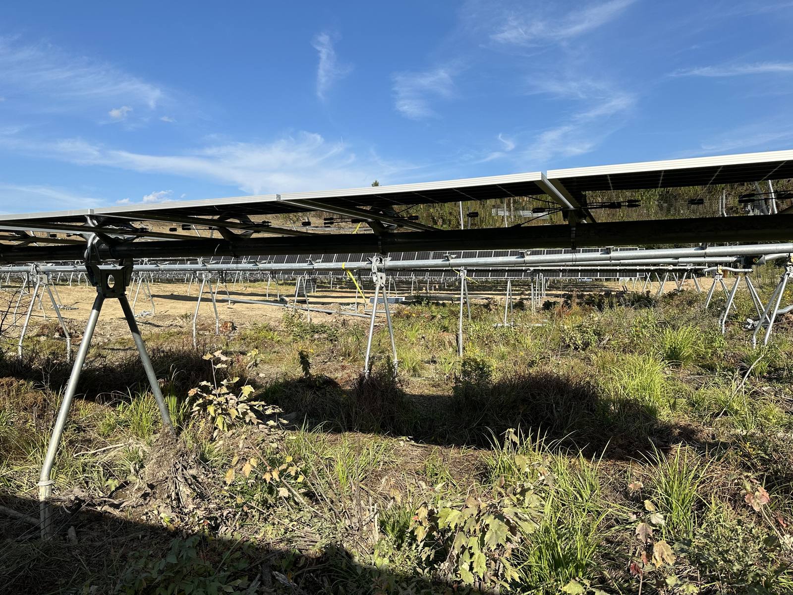
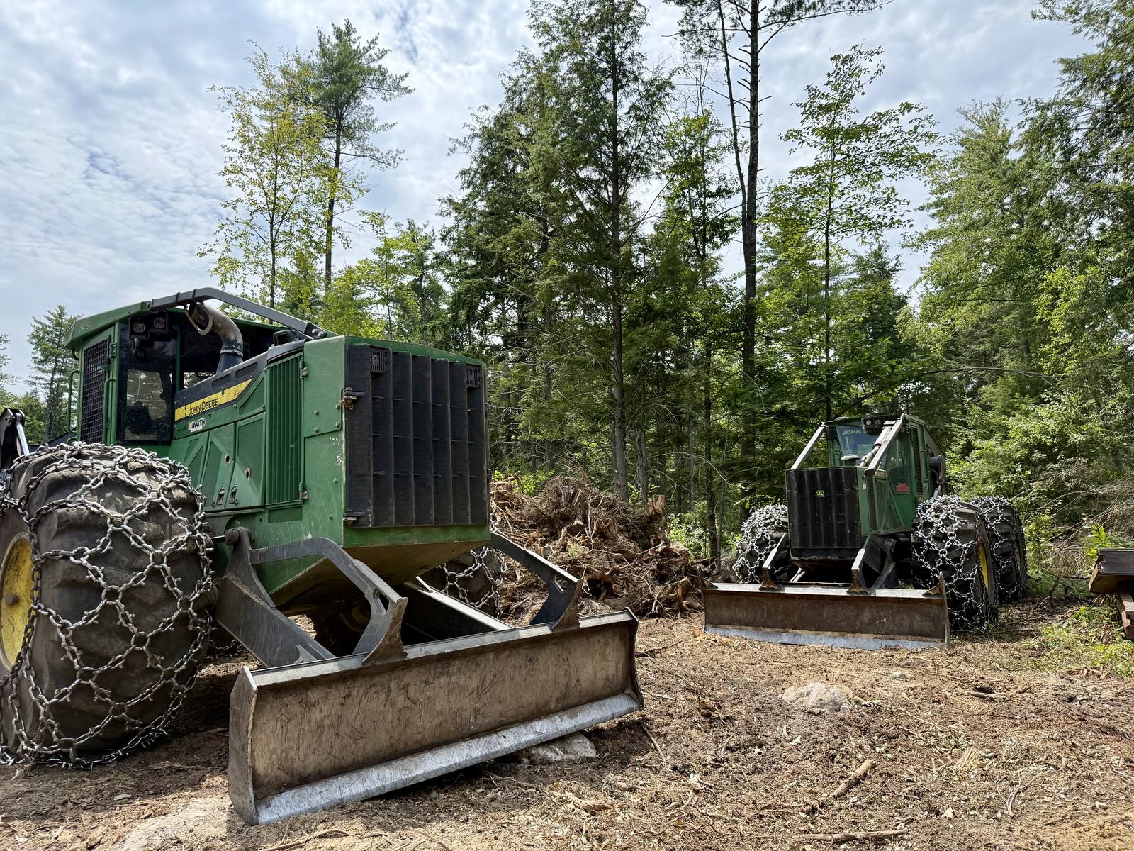
A utility-scale solar development in Franklin County's forested outskirts of Farmington required comprehensive wetland delineation and vernal pool surveys across a large parcel. EcoLink mapped jurisdictional wetland boundaries, identified and certified significant vernal pools, and delivered a full NRPA permitting package to support Maine DEP review and responsible siting of the array.
Farmington, MEWetland DelineationVernal Pool Assessment
Soil & Wetland Assessment · Permitting Support
Bingham Wind Project
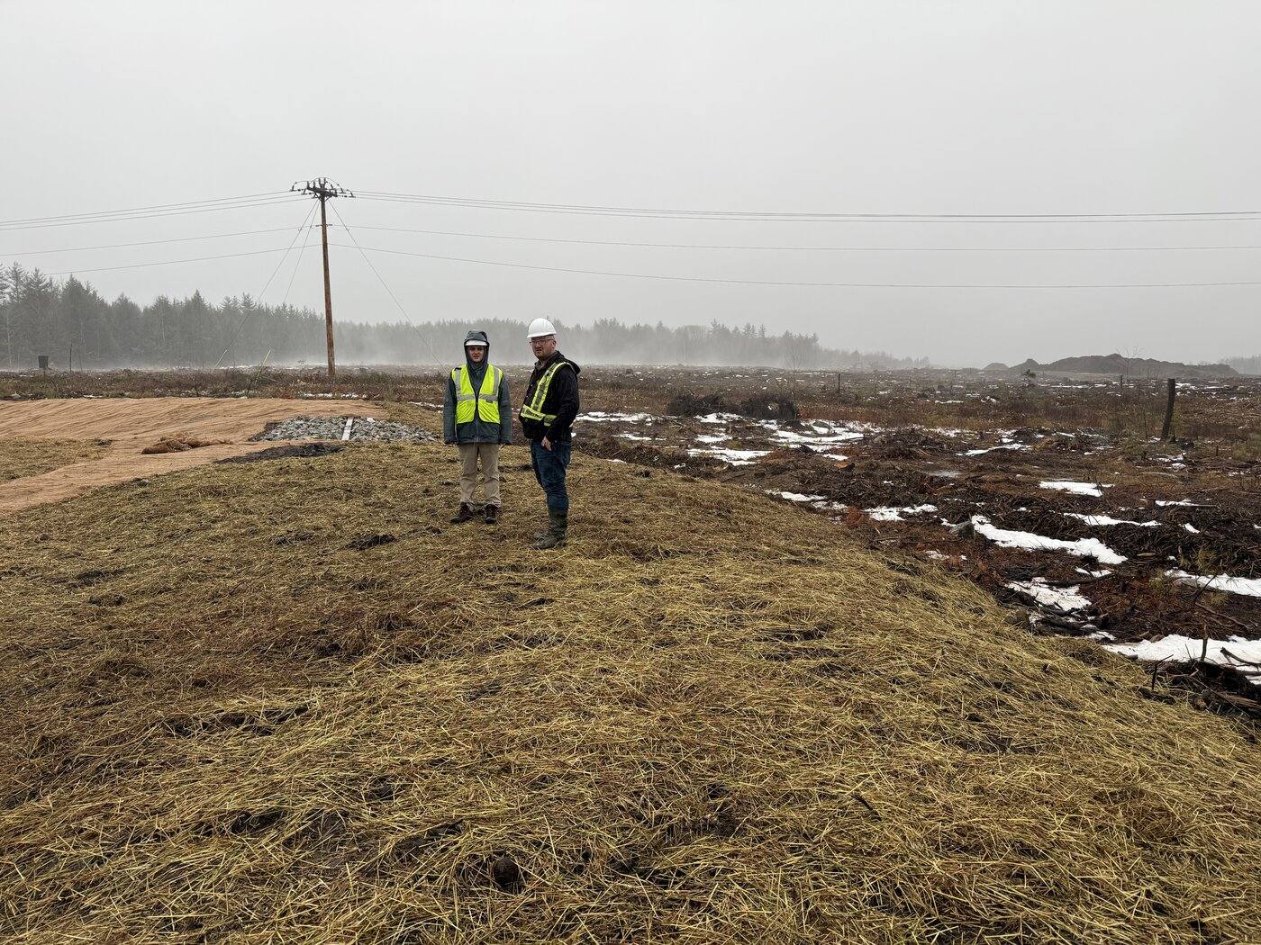
One of Maine's largest wind energy developments, sited across the remote highlands of Somerset County, required extensive pre-construction ecological assessment along proposed access roads and turbine pads. EcoLink conducted soil profile investigations, hydric soil identification, and wetland delineation across the high-elevation terrain to inform site design and support Maine DEP and Army Corps permitting.
Somerset County, MEWetland DelineationSoil Assessment
How It Works
Simple, Straightforward Process
From first call to final report, we guide you through every step clearly and professionally.
1
Initial Consultation
Free 20-minute call to understand your project, timeline, and regulatory context.
2
Custom Quote
Itemized proposal with clear scope, deliverables, and no hidden fees.
3
Field Assessment
On-site evaluation with sampling, GPS mapping, and photo documentation.
4
Data & Lab Analysis
Samples processed through accredited Maine labs with full chain-of-custody.
5
Final Report
Plain-language written report with GIS maps, photos, and permitting recommendations.
Get In Touch
Start Your Site Assessment
Ready to move your project forward? Reach out for a free consultation. We typically respond within 3–5 business days.